It took a little more than a half hour to reach Eglinton at Leslie through ET Seton Park. Google maps showed the closest entry point and Overland and a peruse of the properties while running echoed that find. At Overland, a center fenced circular section on the paved trail has a short pair of track rails embedded in concrete as a testimony to the history of the trail. The asphalt on the path still had that new car smell.
I headed south to see if there were any other useable entry points all the while looking for evidence of the rail line itself. About half way on the south leg, railway ties leading towards a short siding by a Canadian Tire warehouse is all I could find for evidence of railbed.
At the southern end, you can spot the ties for the connection to the CP line just beyond the rocks blocking the entry, but no rails over the ROW fencing.
Heading back north I found a no-whistle sign on the east side of the pathway. I assume blaring horn blasts were out of the question as well, given the close proximity of residential housing beside the line.
Further north, the trail crosses Lawrence Avenue with a tidy set of signals for pedestrians and bikes. The trail adheres tight to the rail bed in width, flatness and straightness, there's no mistaking that this used to be a railline.
At Bond Avenue, you find the paved portion of the trail ends with a dirt path up to a 100 year old railway bridge, complete with ROW fencing and railway ties. Apparently there's much talk of what to do with this bridge, some think it should be removed for easier access to the park while others feel it's of sufficient historical significance to keep. It is the only real remanant of the earliest history for this spur with it's original concrete struture and ties. The ROW fencing on the south east part makes you believe this is an active line as it blocks access to the bridge, yet the bridge surface is clearly pedestrian in nature, covered in pressure-treated planks.
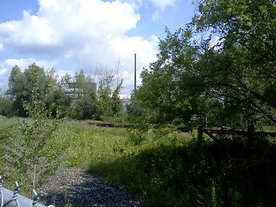
North of Bond is coarse gravel, probably laid in preparation for more asphalt. It's heavily overgrown and I weave my way around vines and summer flowers as a follow onward. Baseball bats ring out from the Bond Park diamonds immediately to the east.
At the north end, a very worn looking flanger sign sits just outside of the ROW fence, the white dots are pretty well rusted away, but it's the last remnant of the railline that once ran through this section.

Over the fence, the rails of the Bala line head north under the bridge at York Mills and south along Bond Park.
I noticed that the track signals to the north were red. I took the short informal entrance on the west side into a parking lot behind a church and headed to York Mills. Shortly after I arrived, a CN work truck on the rails stopped at a switch just north of Y/M and did a short inspection. This was the only activity I'd see this day.
This was over an hour into the run. It was again getting hot out, so I headed back down the pathway to Overland, back into the valley and home for another Saturday 3 hour outing (2 hours of running and one of exploring).


